
The Battle Against the Tide: The History of the Gwent Levels’ Sea Walls
The Gwent Levels is a broad, flat coastal plain in South Wales – a “man-made landscape” lying mostly below high tide level. It stretches from the mouth of the River Usk (near Newport) east to Chepstow and Cardiff, a thin strip of reclaimed land bounded by the Severn Estuary’s vast mudflats. At low tide the Levels reveal saltmarshes, mudflats and sands, but at high tide the same area would be submerged under a metre or two of water twice daily. In fact, the average ground height is only about 5–7m above mean sea level, and the Severn’s tidal range (~14m) is one of the world’s highest. In short, without hard embankments the Levels would simply flood. Historically, sea walls have been essential here: they turned soggy salt marsh into fertile farmland and allowed villages to flourish. As one guide explains, this “man-made landscape started taking shape in Roman times” and was largely created by medieval monks, who piled soil to keep out the sea.
Much of the Gwent Levels lies below sea level, so sturdy embankments are critical to keep seawater out. In Roman times (around 1st–2nd century AD) soldiers based at Caerleon built the first embankments and drainage ditches here, using the reclaimed meadows as grazing for cavalry horses. The Romans probably started around 100 CE with crude banks (sea levels were ~1.5 m lower then), and they drained the land with channels. When they left in the 5th century, maintenance lapsed and the walls failed: by the early medieval period much of the land reverted to saltmarsh. It was only after the Norman Conquest (late 11th century onwards) that people returned to the Levels in force. Over the high medieval era (c.1070–1350) new sea defences were rebuilt and extended, and an elaborate system of ditches (reens) was dug to drain the fields. In particular, the Norman monks at Goldcliff Priory (founded circa 1113) “repaired and extended the sea wall” along the coast towards the River Usk, and laid out networks of watercourses to manage water levels. (They even dug Monks Ditch at Whitson, a major reen still in use today.) By the late 13th century, Goldcliff Priory controlled most of the reclaimed land here, and dozens of miles of embanked fields and lanes had been created under their care.
By the later Middle Ages the coastal environment was changing again. Historical accounts note a fall in temperature and rising seas after the 1300s, which caused shoreline erosion. In practice this meant the sea wall sometimes had to be moved inland – an early example of “managed retreat” – when storms breached older embankments. Archaeology shows that 15th-century walls cut diagonally across older field ditches, evidence that the front line was reset back from the shore. In short, the medieval sea walls were constantly modified, rebuilt or abandoned as needed to hold off the tide.
How the Sea Walls Shaped the Landscape
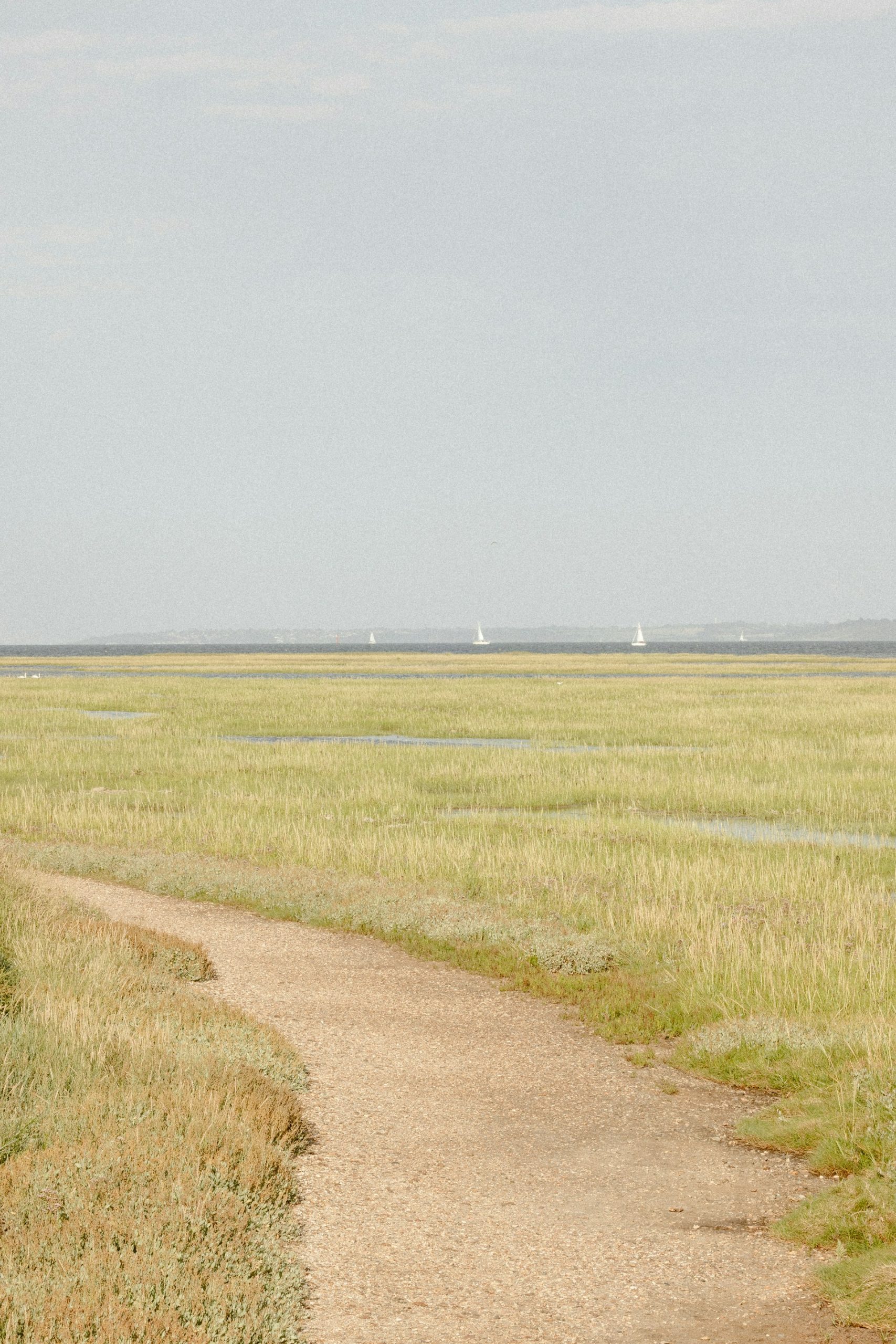
Building sea walls did more than keep out salt water – it transformed the Level’s landscape forever. Behind the banks, people dug an intricate network of reens to drain the waterlogged ground. These fertile channels (often following old creeks and streams) defined the parcel of each field. The result was a patchwork of lush, irregularly shaped meadows with raised grass banks and winding lanes around them – a pattern first laid out by the medieval monks and still visible today. In this way the defences dictated where people could live and farm. Villages and farmsteads always sit on the slightly higher ground between the reens, whereas the soggiest “moors” remained common pasture for summer grazing. For example, in the Caldicot Levels the open Moorland pasture was originally undrained saltmarsh and rough fen; only gradually did ditches enclose and dry out parts of it for corn and hay. Many of those medieval field lines and road layouts endure: even today you can trace half-buried ditches inland where the old shoreline used to be.
Notably, the medieval engineering of sea walls and reens made the Levels a heritage landscape. Names like Goldcliff, Monksditch, Pill (a creek or sluice), Moor, West Usk etc. echo that era. Towns like Magor, Undy and Nash all grew on high ground behind the defences. The region’s centuries-old fields and banks are so distinctive that parts of the Gwent Levels have been proposed for UNESCO recognition. In short, the battle to hold back the tide left a lasting fingerprint: the flat, floral pastures and ribbon-like reens of the Levels are precisely where generations of medieval farmers and monks once built their embankments and channels.
Modern-Day Conservation & Challenges
Today the sea walls are still actively maintained. The line of the existing sea wall was largely set by the late medieval period, but it was rebuilt and raised in the 19th and 20th centuries. Notably, from 1953 to 1974 engineers reconstructed about 35km of the wall. They added stone facing and concrete “wave-return” caps to withstand wave energy. Even so, some stretches remain simple earth banks east of Magor, and you can still find fragments of the original medieval wall (for example at Rumney and along Collister Pill Reen) tucked behind the modern defences. In 1990 a severe storm breached parts of the wall, leading to another round of strengthening.
Maintaining this 28km embankment is now the responsibility of Natural Resources Wales (NRW). The NRW teams keep about 40 km of sea wall and 105 km of reens in good order. That includes regular grass-cutting, debris clearance and structural inspections. For instance, grass is mown on the embankment slopes to prevent burrowing animals and to allow easy monitoring. Outfalls and flap-valves are checked and weeded so water can drain out each tide. All this work helps keep the old defences reliable for the communities and farmland behind them. In fact, official flood policy is simply to “hold the line” of the existing sea wall.
However, the levees now face new threats. Rising sea levels and stronger storms (driven by climate change) are putting extraordinary pressure on the system. Experts warn that future coastal floods could accelerate erosion of the mudflats and salt marsh (‘wharf’) in front of the wall and even threaten the integrity of the embankments. In other words, the same watery menace that shaped the Levels’ history is growing fiercer. Nature-based solutions – for example nurturing coastal saltmarsh to buffer waves – are now being explored alongside traditional engineering. In the meantime, heritage bodies work to protect what remains of the old walls. For example, the clay bank at Rumney Great Wharf (just behind the modern wall) is a Scheduled Ancient Monument dating to the late 1500s, and traces of the medieval wall have been recorded there. Likewise, various sections of embankment along Collister Pill Reen and elsewhere are listed for their historic interest. Thus conservation today means both reinforcing the functional defence and preserving its historical layers.
Visiting the Gwent Levels’ Sea Defences
The Gwent Levels are accessible and a joy for walkers or history buffs. The Wales Coast Path follows the sea wall from Chepstow through the Levels into Cardiff, offering many places to see the embankment up close. A few highlights:
-
- Goldcliff Sea Wall (Newport). At Goldcliff one can easily climb onto the old bank from the road behind the Seawall Tearooms. From here the path runs north toward Redwick, affording sweeping views across the estuary. (An interpretive panel here tells of the Roman and medieval defences.) After your walk you can call into the cozy Seawall Tearooms for a cup of tea.
-
- Rumney Great Wharf (Cardiff). Further north, a stretch of turf sea wall protects the old Rumney area. A public trail along the wall top at Rumney Wharf is a birdwatcher’s paradise. (High tides flush large flocks of wading birds onto the mud in front, as vivid as any safari.) Remarkably, this section still has buried Iron Age and Roman remains in the ground; visitors can see the placard noting the scheduled medieval wall nearby.
-
- St Brides and West Usk (Newport). On the south side of Newport Wetlands, you reach St Brides village with its historic lighthouse. The old St Brides Lighthouse Inn (now a tearoom) stands at the head of the Wentlooge Levels wall. Cross the road to walk out along the Wentlooge sea bank and experience one of the most remote sea-wall walks in Wales. (In winter this flat horizon is crowded with over-wintering wildfowl and waders.)
-
- Visitor Centres. For background, the Newport Wetlands NR Visitor Centre (RSPB) provides exhibits on local heritage (including a dig box for children) and sit atop the Levels landscape. Newport Museum (in the city) has a fascinating display of Gwent Levels artefacts – from aurochs bones to Roman finds – and panels explaining the drainage history. These help put the sea walls in context.
-
- Guided walks. The local Living Levels partnership organises walks and events about the Levels’ history. Their “Levels Loops and Links” programme features circular heritage walks led by volunteers. Leaflets and guided walks (often in spring and summer) explain the engineering and ecology on site.
Whether you’re a local or a visitor, there are plenty of ways to explore. Simply walking the Wales Coast Path will take you along old banks and beside the sinuous reens. Keep an eye out for information boards (for instance at Goldcliff viewpoint) that describe the Roman and monastic efforts. In short, on the Gwent Levels the flat, green fields and their grassy banks tell a story: a long human struggle against the tide that continues to this day

